How does Transitland compare to Esri Community Maps and ArcGIS?
Overview
Both Transitland and Esri's Community Maps program provide access to transit data, but they take fundamentally different approaches to data access, openness, and integration capabilities. Transitland started in 2014, while Esri's Transit Initiative launched in 2024.
Key Differences
Data Access & Openness
Feature
Transitland
Esri Community Maps Transit
Platform Philosophy
Open data platform built on thousands of public transit feeds
Proprietary GIS platform with optional transit tools
⚠️ Living Atlas reference layer (requires ArcGIS license)
Enterprise GIS
❌ Focused on transit data
✅ Full GIS platform
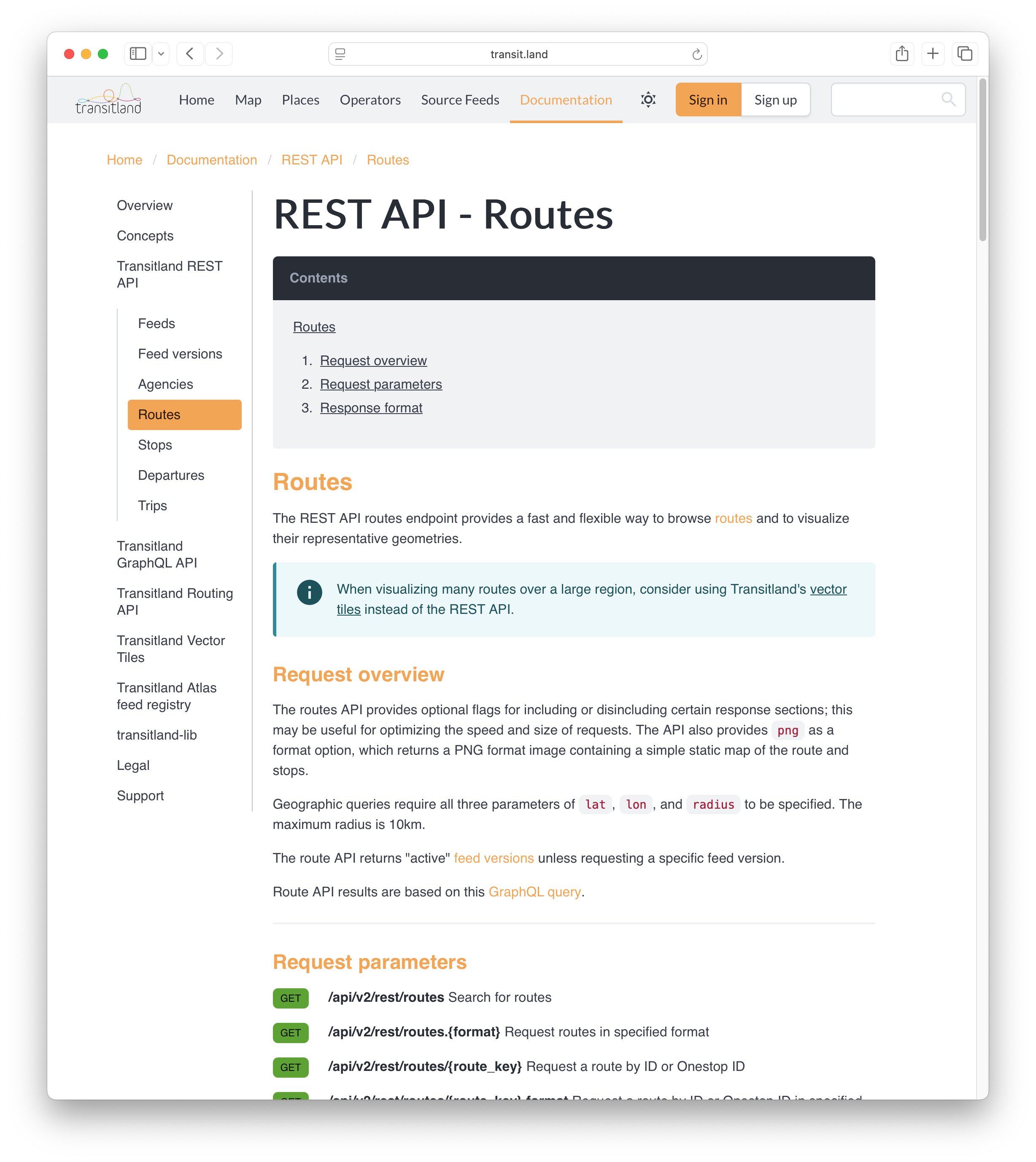
GTFS processing
✅ Free with transitland-lib
❌ Requires Network Analyst license
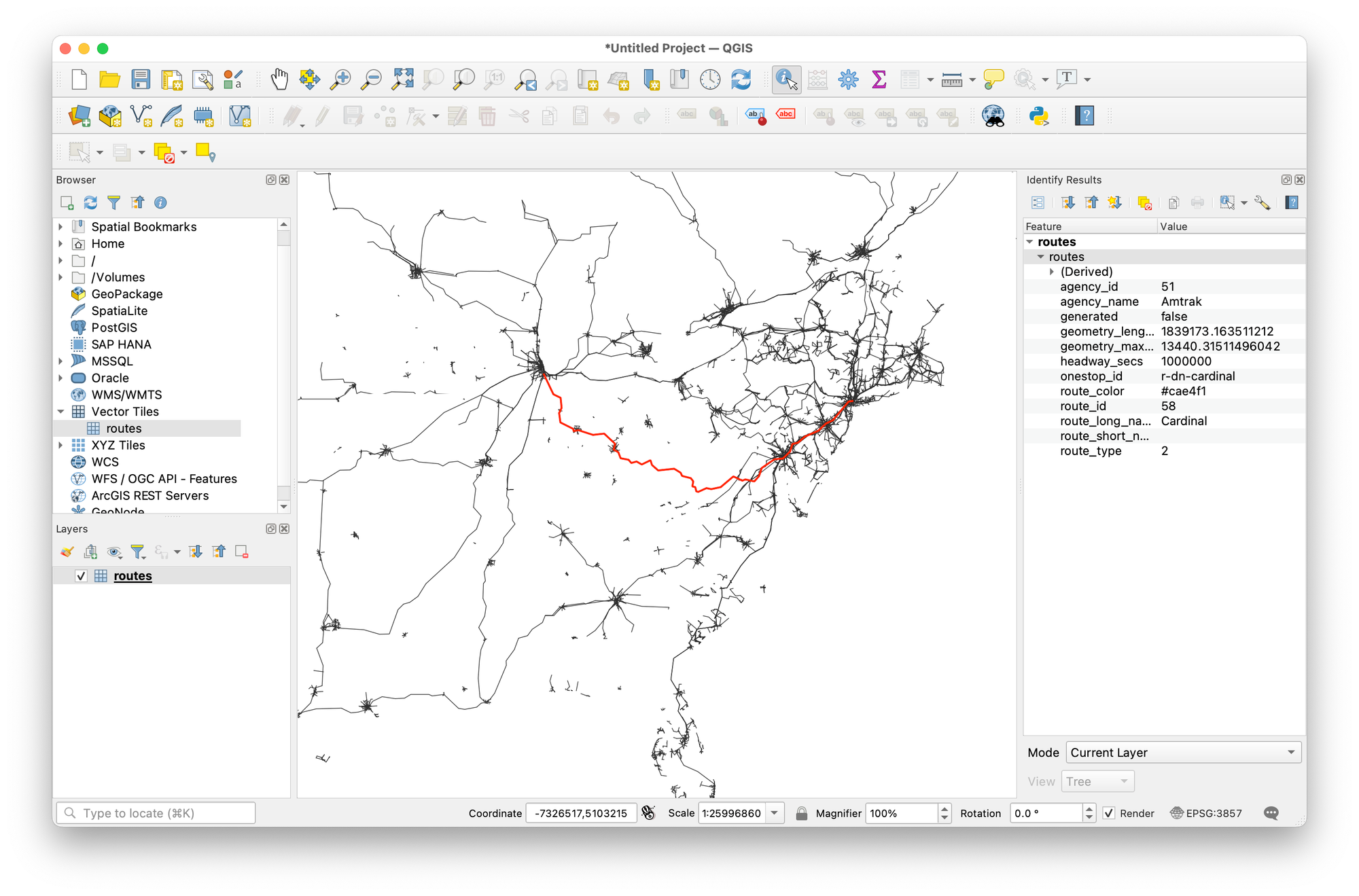
Multi-feed aggregation
✅ 3,000+ feeds worldwide
❌ Single feed processing only
Journey planning apps
✅ Passenger-facing applications
❌ Analysis only, not for passengers
Proprietary workflows
❌ Open architecture
✅ Esri ecosystem integration
User conference
❌ Interline provides support via email
🎉 annual trip to San Diego is "free" as long as your org keeps paying $$$
Conclusion
Transitland offers a more open, comprehensive, and developer-friendly approach to transit data compared to Esri's Community Maps Transit initiative. While Esri provides a Living Atlas reference layer for visualization and analysis tools within ArcGIS Pro (requiring Network Analyst license), Transitland delivers a complete open-source platform that aggregates thousands of feeds worldwide with dedicated transit routing APIs designed for passenger-facing applications.
For organizations focused on transit-specific applications, research, or multi-modal transportation planning, Transitland's open architecture and comprehensive data coverage make it the superior choice.