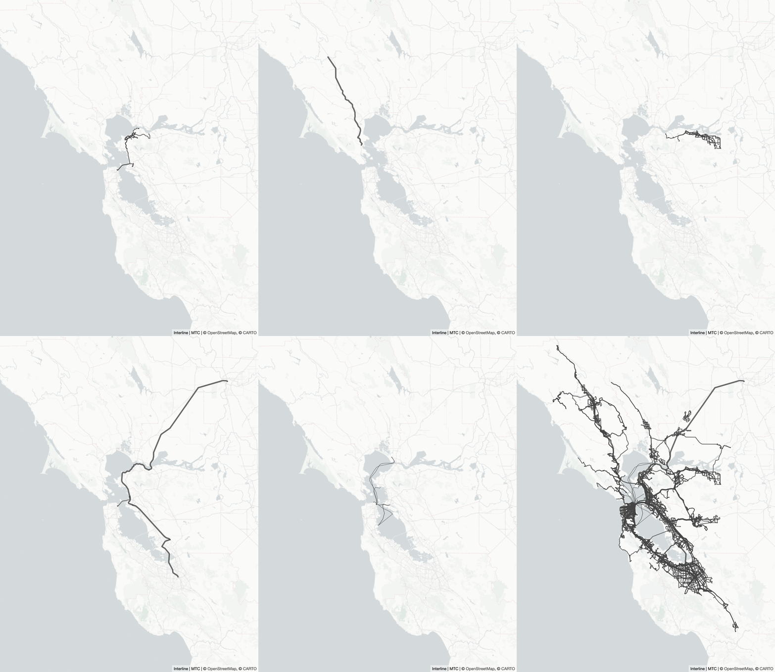
A Regional GTFS Feed for the San Francisco Bay Area
September 10, 2021: MTC and Interline have now released the Regional GTFS Realtime Feed, which provides up-to-the-minute service alerts, trip updates, and vehicle positions using the same ID scheme as the static Regional GTFS Feed. See this blog post for an overview.
August 10, 2020: MTC and Interline have released additional functionality in the Regional GTFS Feed. See this more recent blog post.
Last year, Interline began a “startup in residence” at the Metropolitan Transportation Commission. Now we’re pleased to publicly release our first creation together: the San Francisco Bay Area’s Regional GTFS Feed.
Every day, Interline’s workflow processes 31 agency feeds and creates a single unified static GTFS feed.

Why a Regional Feed?
People don’t stop their commutes or their travels at transit agency boundaries. Similarly, many applications require combining multiple agency feeds: trip planners, visualizations, data analyses, travel demand models, etc. The Regional GTFS Feed will provide data consumers an easier option. Less effort to ingest multiple feeds, more time toward your actual goals.
The Regional GTFS Feed enables the addition of cross-agency data: fares, transfer discounts, other transfer information, and transit hub layouts and accessibility information. These types of data reference IDs and entities from multiple agencies and are a natural fit within a consolidated feed.
The workflow that creates the Regional GTFS Feed also identifies conflicts between agency feeds, data entities, and IDs. By validating agency feeds together, the workflow identifies data quality issues that are only apparent once individual feeds are combined. We’re sharing this information with MTC and agency staff to help further improve all feeds.
Data consumers are still able to access individual feeds from agency websites and 511.org developer APIs. The Regional GTFS Feed is produced using a “conservative” approach: data transformation rules are targeted and constrained. Our motto is Merge. Don’t lose.
Future Plans
In 2020, we’re continuing to work with MTC to further enrich the Regional GTFS Feed:
-
We’re mapping key transit hubs around the Bay Area, creating GTFS-Pathways data using Interline’s new Gotransit editing tools.* This will help trip planning websites and apps to provide better directions to those who use wheelchairs or have other mobility limitations.
-
We’re cataloging fares, tickets, and transfer discounts around the Bay Area, creating GTFS-Fares v2 data, also using Interline’s Gotransit editing tools.** Transit fares and discounts across agencies is a problem of combinatorial complexity. The Regional GTFS Feed will not be able to precisely capture every possible fare, pass, and transfer discount. The goal is to capture sufficient detail to create realistic fare estimates for a variety of rider types riding and transferring between the agencies of highest ridership.
-
To start, the Regional GTFS Feed is updated once per day. In the future, we’ll also create historical versions of the Regional GTFS Feed that combine “slices in time” from different agency feed versions. While trip planning is best powered by the latest GTFS feed, many types of analyses and travel models instead require archival feed versions from the past.
Please watch 511.org’s Open Transit Data section for updates as these additions are released.
Powered by Transitland
The Regional GTFS Feed has much in common with Transitland, our open data platform that aggregates GTFS data for over 2,500 agencies around the world. We’ve used many of the lessons we’ve learned from Transitland to create the Regional GTFS Feed workflow. In fact, the workflow is build using the core, open-source ingredients of Transitland version 2 (also known as “Tlv2”) The 30+ agency feeds are represented as a DMFR (a Distributed Mobility Feed Registry) and processed using the Gotransit library. The Bay Area’s Regional GTFS Feed workflow is, in effect, a Transitland of its own, which is exposed using a static GTFS export.
To Use the Feed and Ask Questions
To use the new Regional GTFS Feed:
- Sign up for a 511 Open Data API token
- Download from
http://api.511.org/transit/datafeeds?api_key=[your_key]&operator_id=RG - The feed is updated daily; download it as frequently as your application needs updates.
To provide feedback or ask questions, please visit the 511SFBayDeveloperResources Google group.
Acknowledgements
 Thanks to our partners in MTC’s Technology Services division. They’ve been serving transit data through 511.org since before GTFS and GTFS Realtime specifications. It’s a pleasure learning from their experience and working together to take advantage of the latest advances in transit data.
 Thanks to also to City Innovate for managing the Startup in Residence (STIR) program. We encourage procurement officers and civic-oriented startups to learn more about the program.
Notes
* For more on the GTFS-Pathways additions, see this Google doc.
** For more on the GTFS-Fares-v2 proposal, see this Google doc.
Originally posted to the Interline blog on January 8, 2020.
Written by: